NHS London commission

The brief
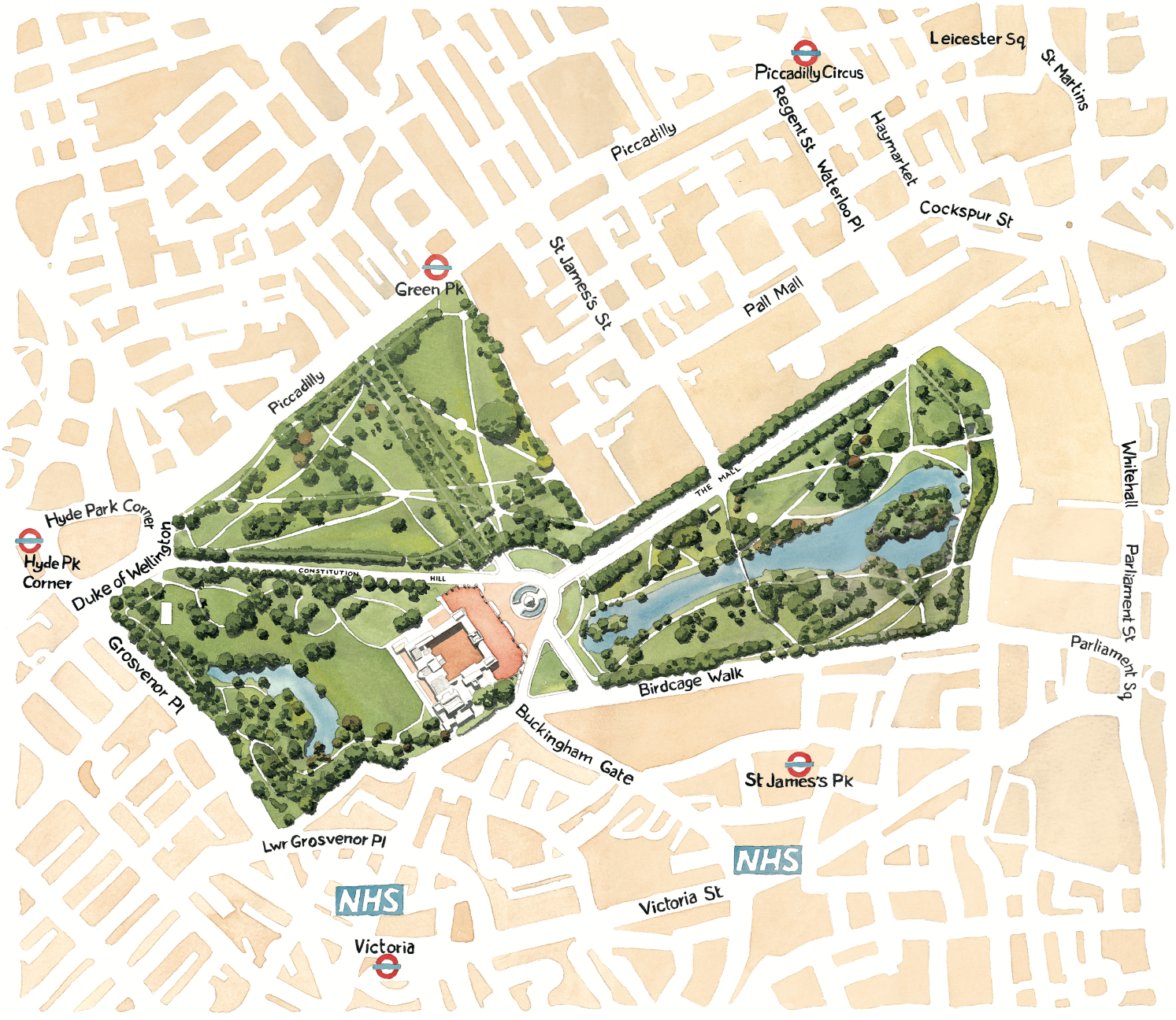
Commissioned by NHS London in 2009 to create a map illustration and a set of watercolours illustrations, to promote public physical activity during the build up to the London 2012 Olympics.
The illustration was to focus on the grounds and parks around Buckingham palace. Green Park, and more importantly St James’s Park.
Map illustration
The main illustration was a watercolour map with simple surrounding roads and local Underground stations. The focus was to encourage local residence who the Royal residence was included, to be physically active. A more detailed rendition of the parks and Buckingham palace promotes the green spaces and wildlife within.
Watercolour illustrations
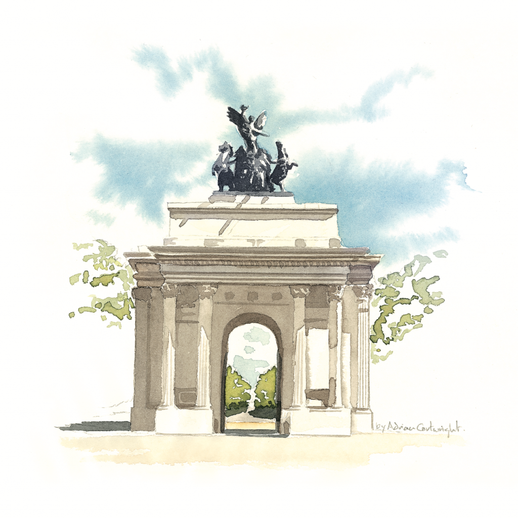
Additional small and simple watercolour illustrations also helped to decorate the map. And is featured further into this blog. These illustrations focussed on famous landmarks that are within walking distance of Buckingham Palace and the surrounding parks.
The illustration was produced on heavy and knotted watercolour paper and then stretched on a board. But not before using a light-box to add the pencil outline of the roads and park features. Then using aerial photography, I simply added the watercolour.

Here’s one of the additional watercolour illustrations produce to promote the NHS London Activity, and complimented the map illustration. Wellington Monument aka Wellington Arch, which is located on the far left edge of the green map area on this map. See Hyde Park Corner.
Following the passing of Queen Elizabeth 2nd, I remembered this commission from 2009, and thought I’d share it with you. I have no idea where the illustrations are now, but like to think that perhaps the Queen once gazed at them.
Note this style of illustration isn’t a style I produce commercially any more, but please take a look a my current folio. And feel free to contact me if you wish to know more.
illustrator Adrian Cartwright.
